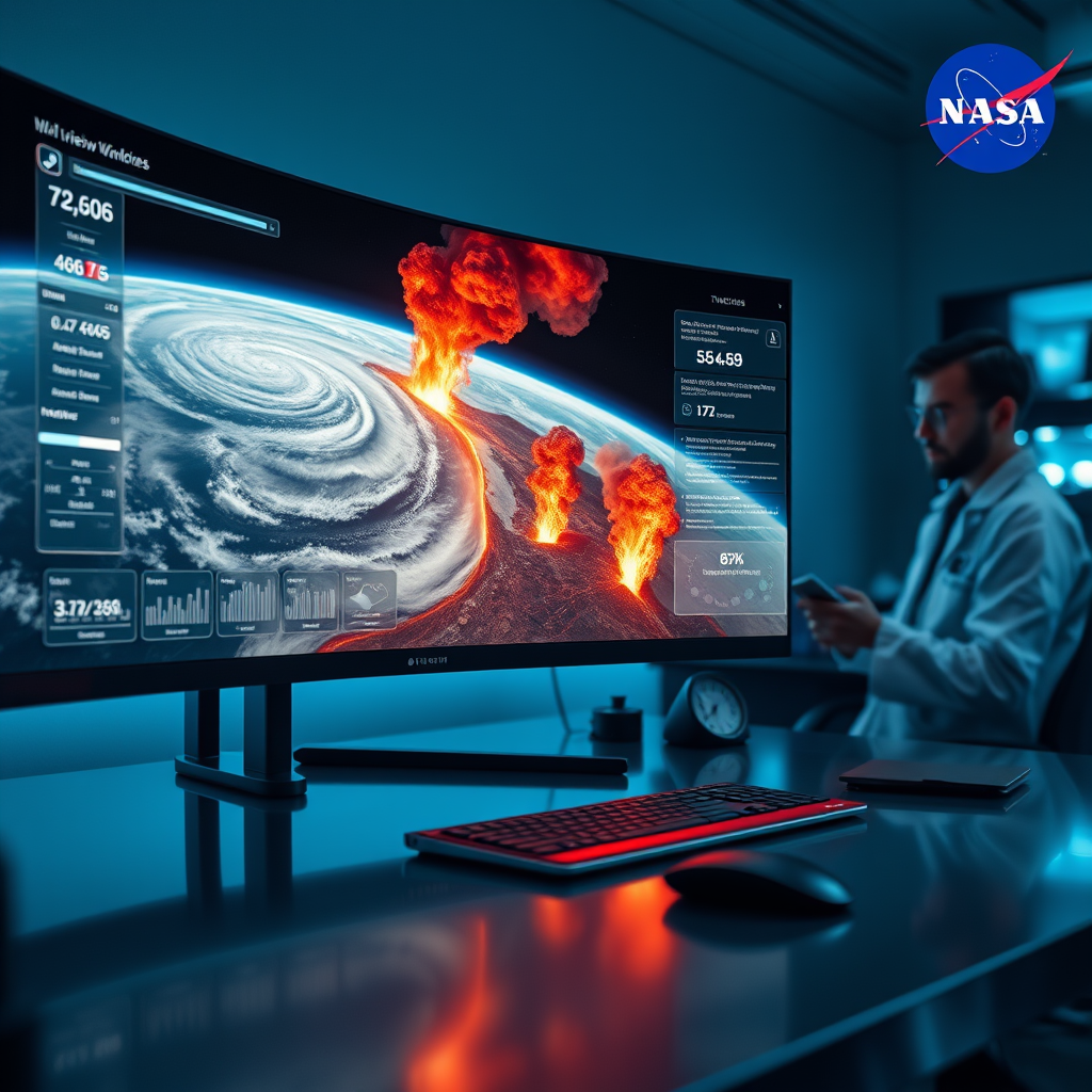
Ever wondered what’s happening on our planet right now? NASA’s Earth Observing System Data and Information System (EOSDIS) makes a treasure trove of satellite data freely accessible to the public. Using their innovative Worldview tool, users can interactively browse full-resolution images of Earth’s surface, updated daily. This resource is ideal for observing natural phenomena such as wildfires, hurricanes, and volcanic eruptions in near real-time. The interface is user-friendly, meaning anyone from students to data analysts can explore Earth’s dynamic environment from their screens. Not only does this foster greater understanding of our planet’s processes, but it also encourages citizen science and global awareness. The open data approach exemplifies NASA’s mission to make space and Earth sciences accessible worldwide. So, whether you’re a researcher, educator, or curious explorer, NASA’s satellite imagery tools are a compelling reason to engage with space sciences directly. Dive into the visuals, analyze patterns, and stay informed about our ever-changing Earth — all for free. Space may be vast, but now, thanks to NASA, understanding it is just a click away. 🚀


